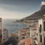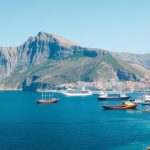

The story of Gibraltar’s strategic importance is written not only in stone and cannon but also in the pages that line its historic libraries, where the Gibraltar naval history archives reveal the ebb and flow of empire, trade, and conflict across the Mediterranean. Researchers who walk the aisles of the Gibraltar National Archives or the museum’s reading room discover original ship logs, officers’ correspondence, and detailed charts that together map the Rock’s role as a naval gateway. These documents, preserved through careful conservation, allow scholars to trace the evolution of fortifications, the composition of fleets, and the daily lives of sailors who called the port home. By examining these sources, educators can bring the past to life for students and tourists alike, turning abstract dates into vivid narratives.
Official Admiralty Records: Structured Evidence of Command
Admiralty dispatches stored in the Gibraltar national repository provide a top‑down view of decision‑making during key periods such as the Great Siege and the World Wars. Each dispatch is catalogued by date, fleet, and commanding officer, allowing historians to reconstruct chains of command and to pinpoint moments when strategic directives altered the course of battles. For example, a 1727 dispatch from Admiral Sir Charles Wager outlines the defensive preparations that repelled a Spanish assault, complete with troop numbers, artillery placements, and supply inventories. By cross‑referencing these files with contemporary French reports, scholars can assess the accuracy of British intelligence and the effectiveness of the Rock’s fortifications.
The meticulous indexing of these records also supports quantitative studies; researchers can extract data on ship tonnage, crew composition, and ammunition expenditure over decades. Such analysis has revealed a steady increase in the proportion of locally recruited sailors during the 19th century, reflecting Gibraltar’s growing importance as a recruitment hub. Educational programs at local schools now use these statistics to illustrate how demographic shifts influenced naval logistics, giving students a concrete sense of how the Rock’s population intertwined with imperial needs.
Personal Journals and Letters: Human Voices from the Deck
Beyond official paperwork, the libraries house a treasure trove of personal narratives written by midshipmen, surgeons, and dockworkers. One particularly vivid diary belonging to a Royal Navy surgeon in 1805 describes the cramped conditions aboard a frigate anchored in the Bay, noting the smell of gunpowder, the rhythm of daily drills, and the occasional glimpse of the Rock’s limestone cliffs. These first‑hand accounts add texture to the strategic picture, revealing morale, health concerns, and the social hierarchy that defined life at sea.
Letters sent home by sailors often mention interactions with the local civilian population, such as markets where fresh produce was bartered for rum, or festivals where British and Spanish customs blended. By compiling these correspondences, historians have traced the cultural exchange that turned Gibraltar into a melting pot of languages and traditions. Classroom projects now invite students to transcribe excerpts, fostering skills in paleography while connecting them personally to the individuals who once walked the same streets.
Cartographic Collections: Mapping the Rock’s Maritime Influence
Maps produced by the Royal Navy Hydrographic Office and stored in the museum’s cartographic wing illustrate the evolution of nautical knowledge about the Strait. Early 18th‑century charts show rudimentary depth soundings, while later 19th‑century editions feature precise bathymetric data that facilitated the safe passage of larger steam‑powered vessels. Comparing successive editions highlights technological advances in surveying equipment and the increasing strategic emphasis placed on controlling the narrow waterway.
To see more of the territory’s history, ThamesTv covers the topic in this video right here.
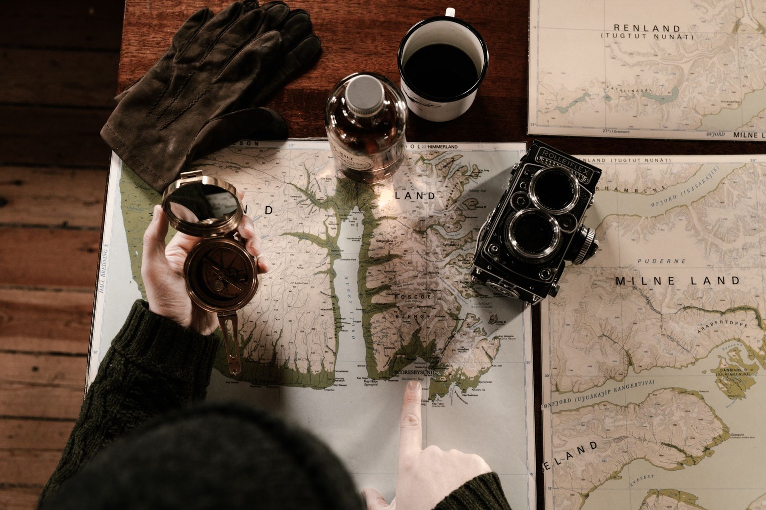
These maps also serve as visual aids for educators who wish to demonstrate how geography shaped military tactics. For instance, a series of maps from the 1915 campaign against German U‑boats can be overlaid with modern satellite imagery, allowing students to see how natural features such as the Rock’s eastern cliffs provided natural cover for torpedo nets. The ability to juxtapose historic and contemporary perspectives deepens understanding of why Gibraltar remained a pivotal naval base.
Ship Logbooks: Chronological Threads of Naval Operations
Logbooks kept by vessels that docked at Gibraltar offer day‑by‑day accounts of weather, engagements, and supply status. A log from HMS Warrior in 1854 records a sudden squall that damaged the mainmast, prompting an emergency repair at the dockyard. The entry notes the involvement of local craftsmen and the cost of timber, shedding light on the economic interdependence between the navy and the civilian shipbuilding sector.
Aggregating data from dozens of such logbooks enables researchers to construct climate profiles for the region, which in turn explain certain tactical decisions, such as the timing of fleet movements to avoid seasonal storms. Educational workshops now use these logs to teach students basic data analysis, turning raw entries into graphs that illustrate patterns in wind direction, sea state, and ship speed across years.
Photographic Archives: Visual Documentation of Naval Life
Photographs taken by naval officers and civilian photographers in the late 19th and early 20th centuries capture the physical infrastructure of Gibraltar’s ports. Images of the Grand Harbour show the transition from wooden sailing ships to ironclads, while pictures of the dockyard reveal the introduction of steam cranes and railway lines. These visual records corroborate written descriptions of modernization efforts and provide tangible evidence of industrial progress.
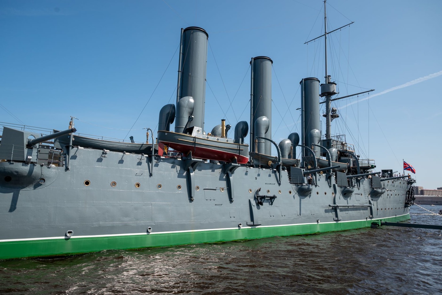
The photographic collection also includes portraits of sailors, officers, and dockworkers, offering insights into uniform evolution, racial composition, and gender roles within the naval community. By curating themed exhibitions, the libraries enable visitors to trace how visual representation of the navy changed over time, reinforcing lessons about societal shifts and technological adoption.
Oral History Recordings: Living Memory of the Maritime Past
In the latter half of the 20th century, the Gibraltar Historical Society embarked on an oral history project, recording interviews with retired naval personnel and long‑time dockyard employees. These recordings preserve anecdotes that are absent from written sources, such as stories of secret tunnels used during World War II or the camaraderie forged during long deployments. The audio files are indexed by topic and date, making them accessible for researchers seeking personal perspectives.
Teachers have incorporated excerpts from these recordings into history lessons, allowing students to hear the cadence and emotion of those who experienced the events firsthand. This auditory dimension adds depth to the study of Gibraltar’s naval heritage, reminding learners that the past is not only documented in ink but also alive in memory.

I have always been captivated by the unique cultural tapestry of the Rock, particularly how Moorish, Spanish, and British influences shaped its development over centuries. My passion lies in translating these complex historical narratives into engaging educational resources that make Gibraltar’s past accessible to everyone. I spend my free time exploring military fortifications and reading first-hand accounts of life at the Pillar of Hercules.